Education
Training materials and demo videos
for a more complete immersion in
the IMC environment.

Video lessons
You can try all the features of the program in practice together with the video lessons.
You will learn the complete processing stages as well as how to create thematic maps.
Learn in detail the tools and features of working with the IMC software package.
Demonstration of features
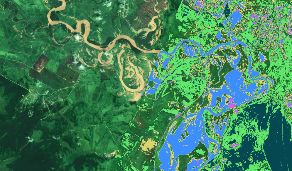
Demonstration videos will help to get acquainted with the functionality of our IMC software package.
These videos will allow you to better understand on real examples what tasks the software package
solves.
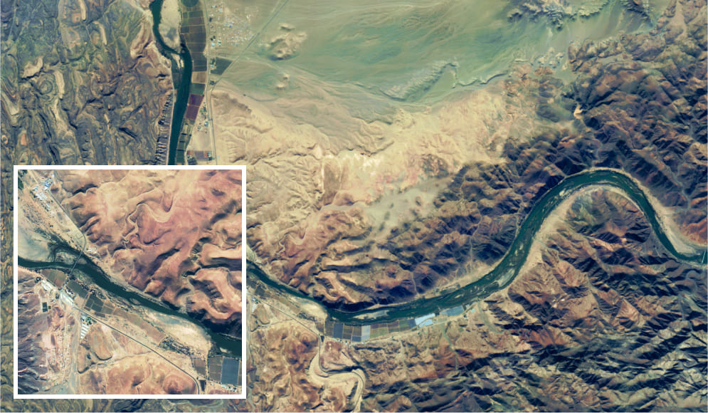
Video gallery
Explore in what areas the software package can be used. И How IMC helps in monitoring and forecasting emergency situations. situations.
Watch all
More about IMC
Even more IMC features,
as well as how to purchase the software package