Экология
Применение программного комплекса IMC
в области экологии

Экология
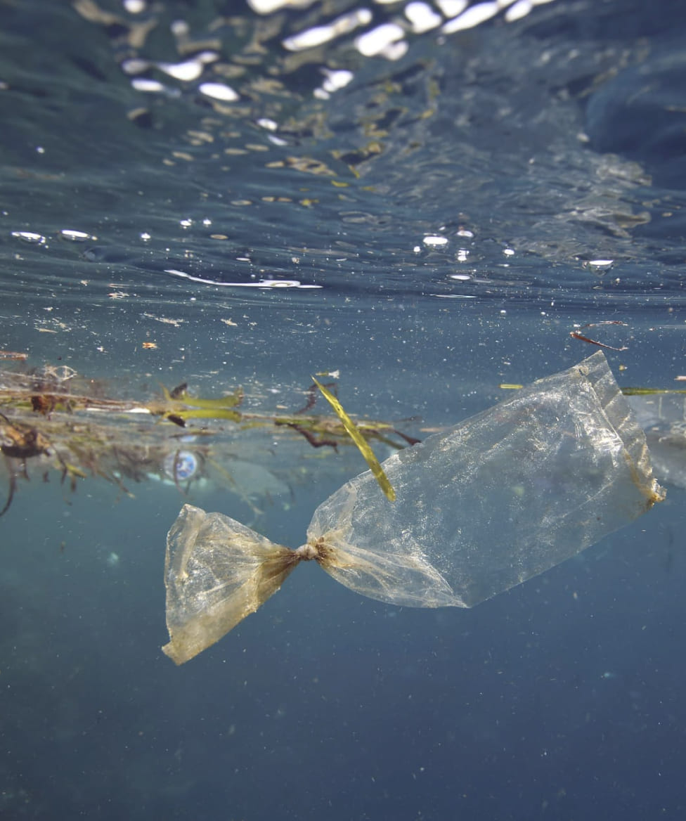
Глобальные экологические проблемы на планете Земля неразрывно связаны с деятельностью человека и его влиянием на окружающую среду.
Такие действия как:
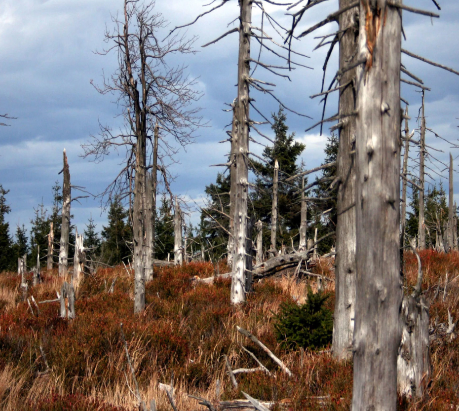
- вырубка леса;
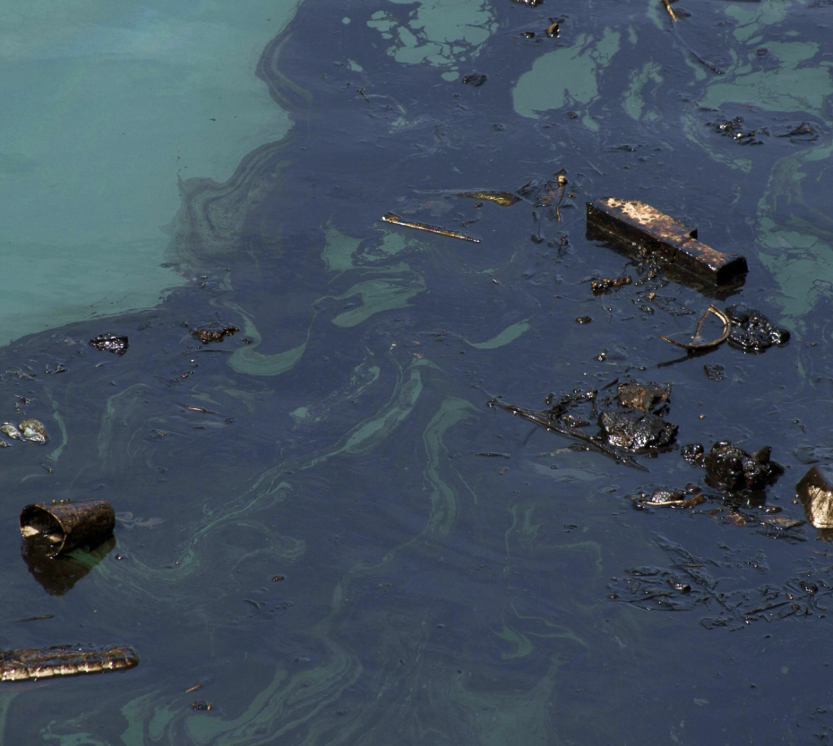
- загрязнение воды;
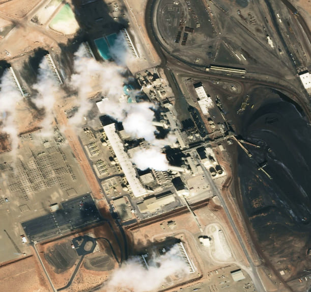
- загрязнение почвы;
- пожары;
приносят непоправимый вред окружающей среде.
Программный комплекс IMC может помочь решить основные задачи экологии:
- оценка экологического ущерба;
- выявление и локализации деформаций нефте - и газопроводов;
- обнаружение нефтяной пленки на поверхности водоемов;
- выявление земель, подвергшихся нефтяному загрязнению;
- выявление угнетенной растительности;
- мониторинг и оценка состояния особо охраняемых природных территорий;
- обнаружение свалок и другие задачи.
Примеры мониторинга
в области экологии с помощью IMC
Программный комплекс IMAGE MEDIA CENTER позволяет организовать автоматизированный мониторинг состояния нашей планеты.