IMAGE MEDIA CENTER
Основные возможности и способы
применения программного комплекса
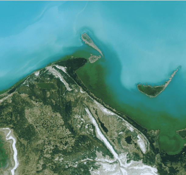

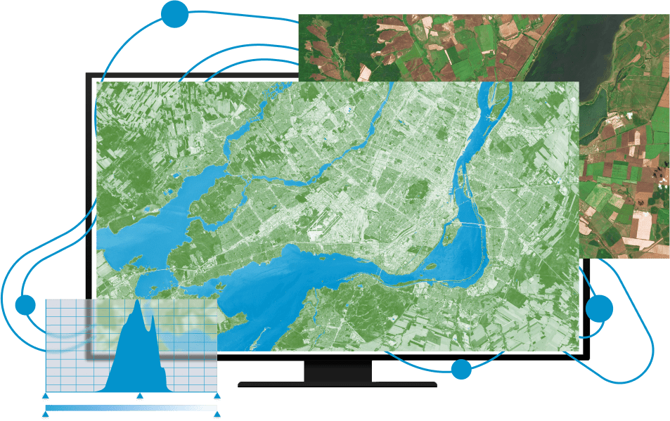
IMAGE MEDIA CENTER
Инновационный программный комплекс Image Media Center, разработанный российской компанией «Центр Инновационных Технологий», позволяет выполнять полный цикл работ по анализу и обработке изображений, данных дистанционного зондирования Земли и картографических материалов, соединять их в единой географической базе, насыщая ее любой дополнительной информацией, хранить и визуализировать все это совместно, по выбору пользователя, получая качественно новый информационный продукт.
Решение задач в одной
информационной системе
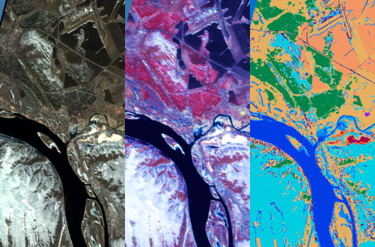
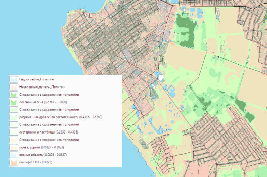
Полный цикл обработки материалов ДЗЗ и создание векторных карт (от первичной обработки до тематических ГИС-проектов).
Совмещение всех типов данных в одном координатном пространстве, пересчет географических проекций.
Ориентирование на комплексное решение задач, возможность сохранения всего проекта в одном файле
Создание баз географических данных на основе СУБД, возможность интегрирования с другими системами.
Разработка и сохранение пользовательских алгоритмов для проведения автоматической обработки данных ДЗЗ.
Открытая архитектура и возможность расширения функционала путём разработки дополнительных модулей.
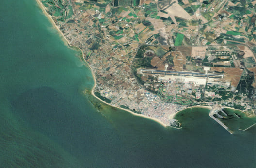
Отраслевые решения
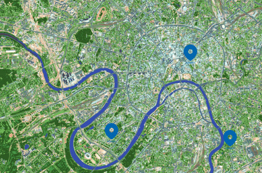
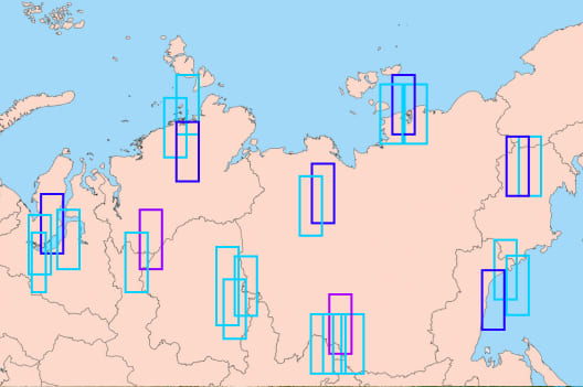
Программный комплекс IMC - многофункциональное решение задач, подходящее для различных отраслей и сфер жизни.


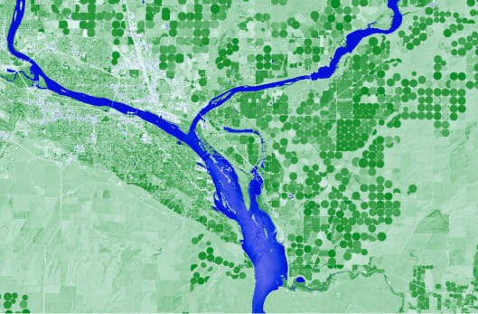
Базовый функционал IMC
Программный комплекс IMC - многофункциональное решение для самых
разных задач.
Ниже представлены примеры некоторых из них.
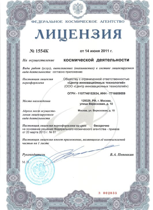
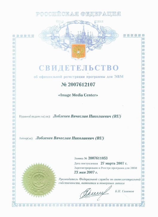
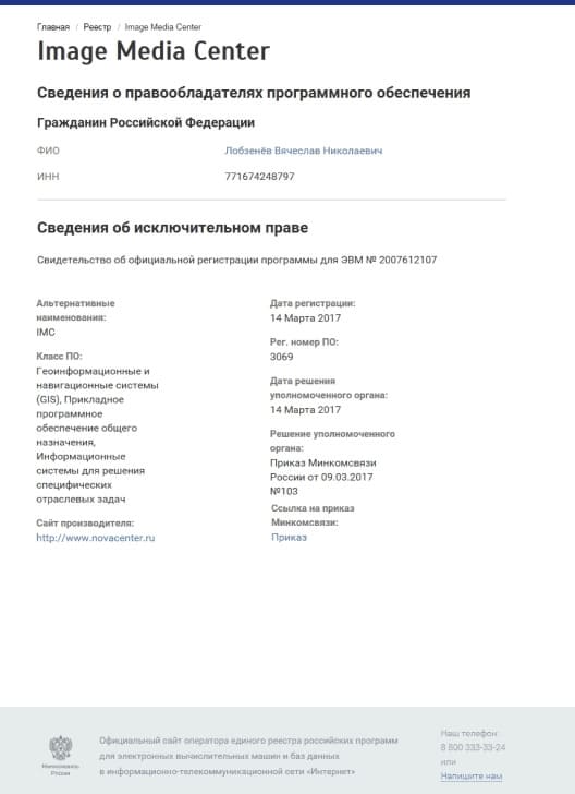
Лицензии
Больше об IMC
Изучите больше возможностей IMC, а также узнайте, как приобрести программный комплекс