A master class was held at the Novacenter
17 March 2026
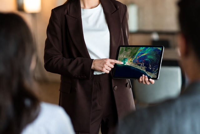
A master class on thematic processing of satellite images was held at the Novacenter. The event was dedicated to the use of remote sensing data for the study of marine ecosystems, including tracking plankton blooms and assessing the state of water areas.
Vladislava K., the company's leading specialist, presented to the participants modern methods for analyzing satellite data, which include identifying phytoplankton blooming zones by color changes in the water surface, estimating chlorophyll a concentrations for monitoring biological activity, tracking temperature anomalies on the ocean surface, analyzing the spread of pollutants and oil spills, as well as monitoring coastal zones and coastal erosion.
"Satellite images give us the opportunity to observe the ocean on a global scale and in almost real time," Vladislava noted. — For example, plankton blooming is not just a beautiful phenomenon, but a key process affecting the entire food chain and the carbon cycle of the planet. Satellite data helps scientists predict these events, assess their scale, and understand the environmental consequences."