Пробная версия IMC
Попробуйте все возможности программного комплекса
Попробуйте Image Media Center бесплатно
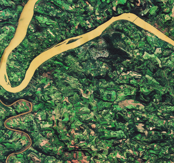
В геоинформационном программном комплексе IMC реализован широкий перечень методов обработки данных ДЗЗ от предварительной обработки снимков до формирования тематических векторных слоев, насыщенных атрибутивной информацией.
| Открытие, визуализация, обработка и сохранение растровых форматов данных, поддерживающих геопространственную информацию |
| Работа с географической информацией |
| Привязка изображений по RPC-коэффициентам |
| Перепроецирование снимков из одной системы координат в другую |
| Работа с различными цветовыми пространствами (RGB, CMYK, Lab, HLS, HSB) |
| Поддержка изображений с различными типами представления данных, включая 8-ми, 16-ти и 32-битные, с плавающей точкой и комплексные |