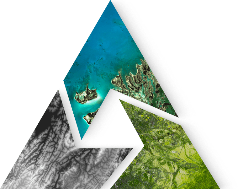
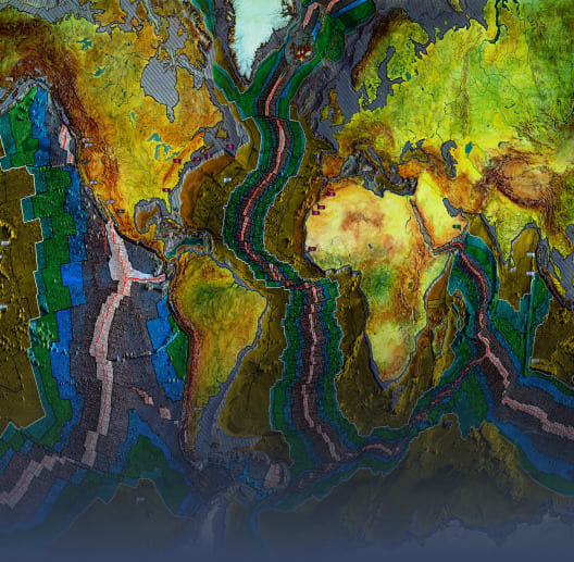
Исследуйте
мир с IMC
инновационный программный комплекс
для обработки пространственных данных
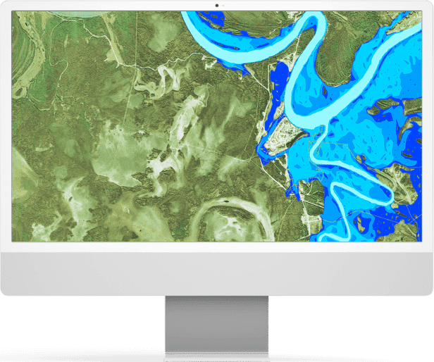


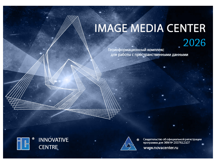
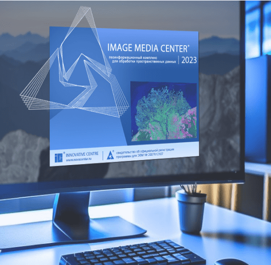
Российский программный комплекс для обработки пространственных данных
IMAGE MEDIA CENTER
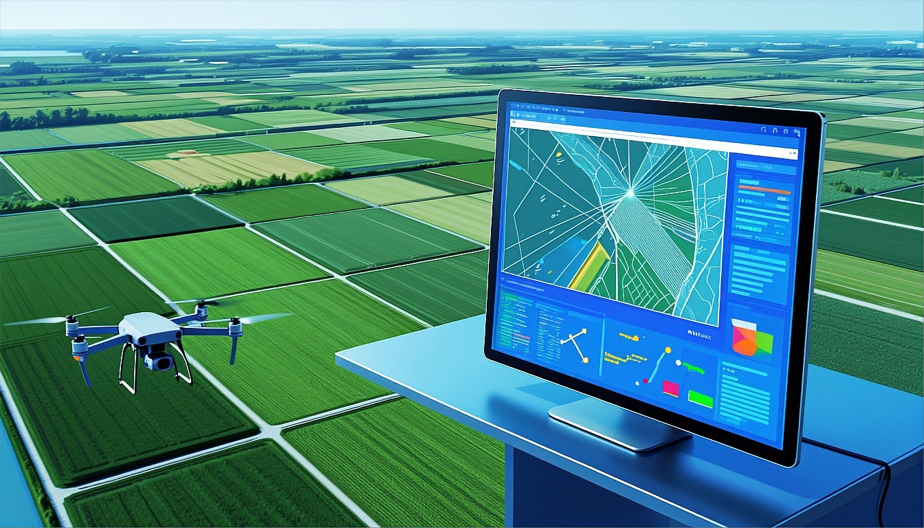
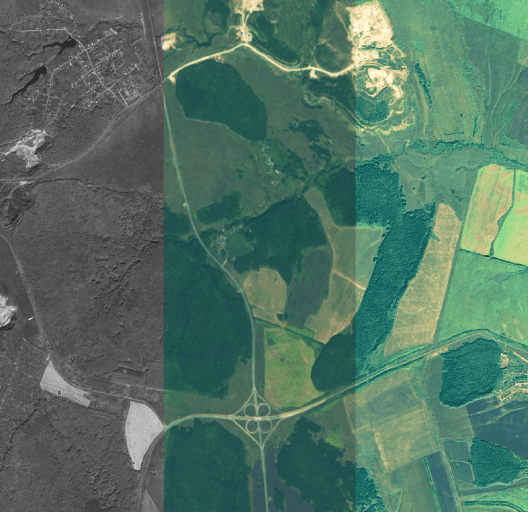
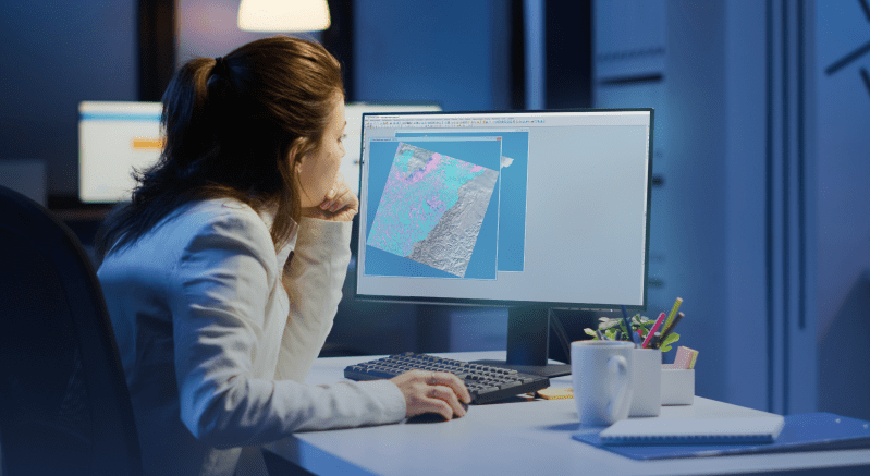
IMC предоставляет пользователям широкий спектр возможностей:
- обработка снимков и растровых изображений;
- работа с векторными данными и стилями векторных объектов;
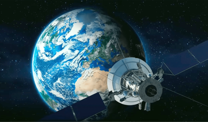
- обработка данных дистанционного зондирования Земли.
Работу в IMC оценят как обычные пользователи, так и специалисты в области обработки цифровых изображений и геоинформационных систем.
Узнать больше
Приглашаем Вас в увлекательное
путешествие по России вместе с IMC
Откройте для себя возможности программного комплекса и посмотрите на наглядном примере решение тематических задач.
Отраслевые решения
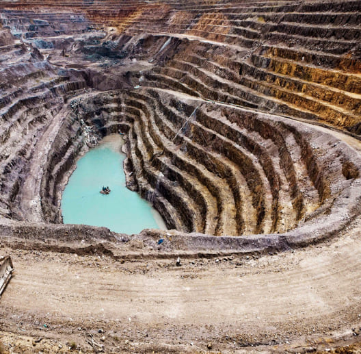
Программный комплекс IMC - многофункциональное решение задач, подходящее для различных отраслей и сфер жизни.


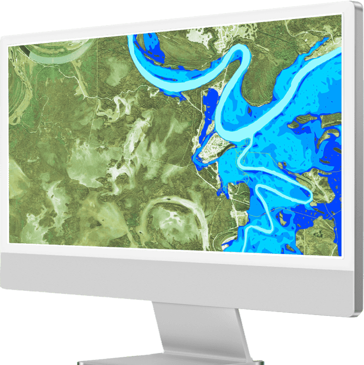
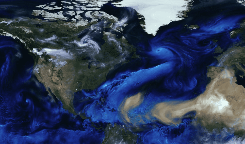
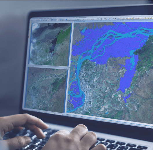
Мониторьте и прогнозируйте
чрезвычайные ситуации с IMC
Сферы применения программного комплекса IMC и его возможности при мониторинге и прогнозировании чрезвычайных ситуаций.
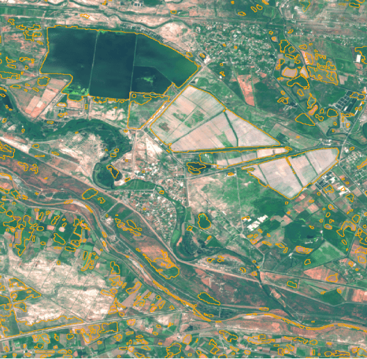
Решаемые задачи недели
Еженедельный обзор актуальных задач в программном комплексе IMC

IMC для учебы
Центр инновационных технологий активно развивает сотрудничество с российскими университетами в области обработки данных дистанционного зондирования Земли.
Если ваш университет нуждается в обеспечении передовыми инструментами обработки данных ДЗЗ, мы всегда готовы рассмотреть возможности партнерства.
Узнать больше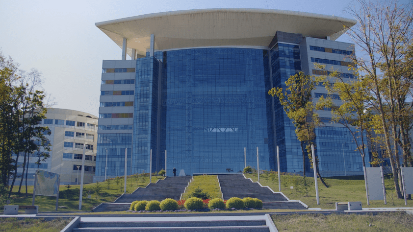
IMC для бизнеса
Компания Центр инновационных технологий предлагает широкие возможности для бизнеса, предлагая готовые решения под нужды вашей организации, так и возможность создания совершенно новых модулей программы под ваши задачи.
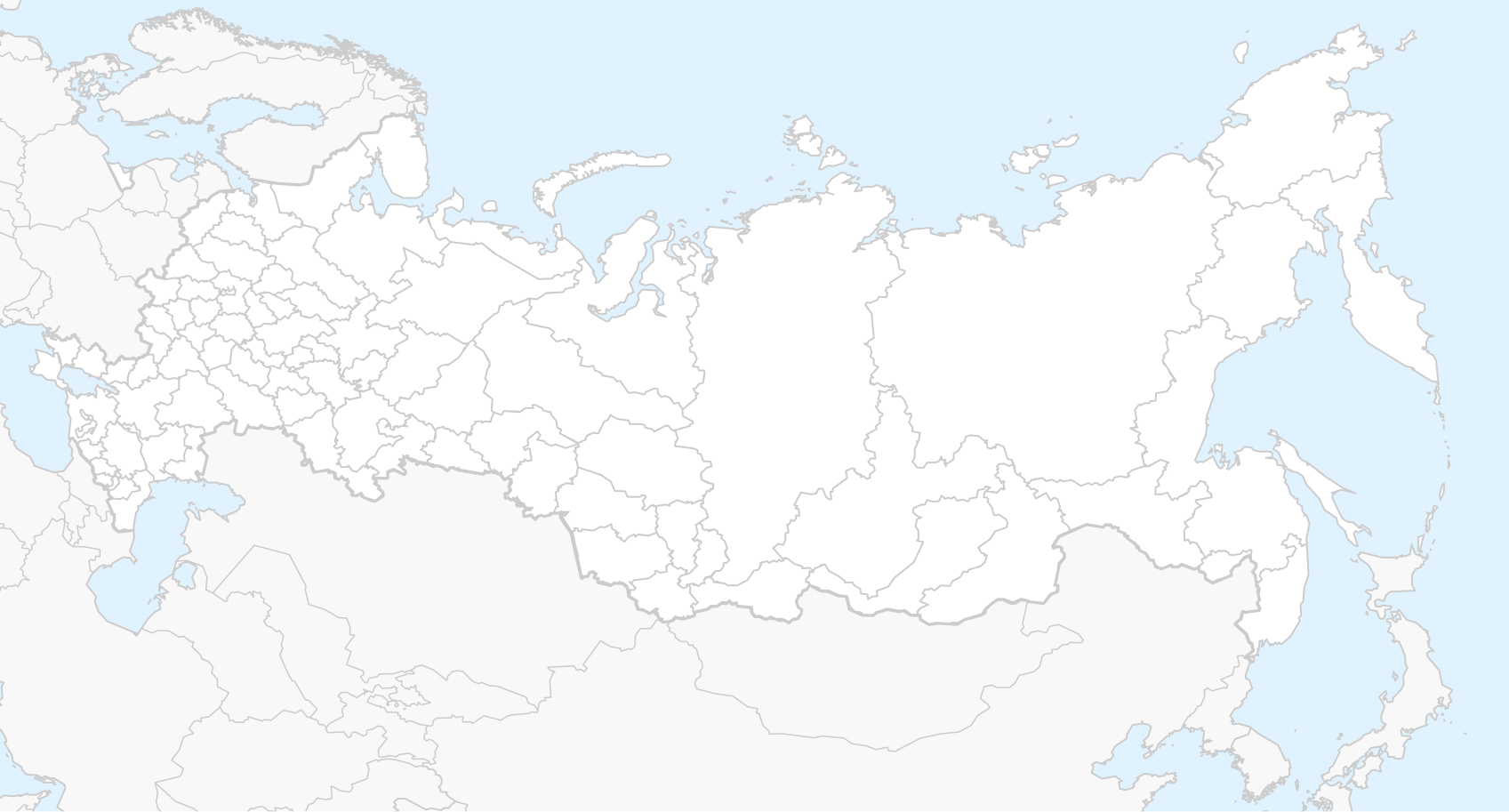
Узнать большеГеография использования IMC
Программный комплекс IMC используется во многих городах России и за рубежом, в коммерческих организациях, образовательных учреждениях, государственных и финансовых структурах.
Больше об IMC
Еще больше возможностей IMC, а также способы
приобретения программного комплекса
Оставайтесь в курсе
Следите за новостями индустрии вместе
с “Центром инновационных технологий”