Центр инновационных технологий на международной выставке...
Подробнее
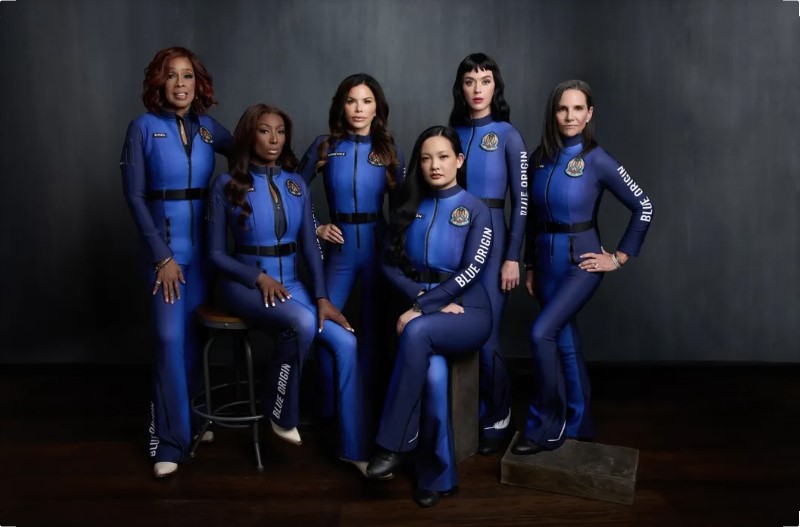
Blue Origin впервые с 1963 года запустила в космос...
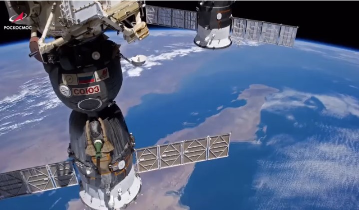
Российский экипаж МКС поздравил соотечественников с Днем...
Уважаемые партнеры и клиенты! Мы переехали!
Назначен новый глава "Роскосмоса"
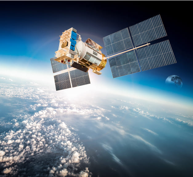
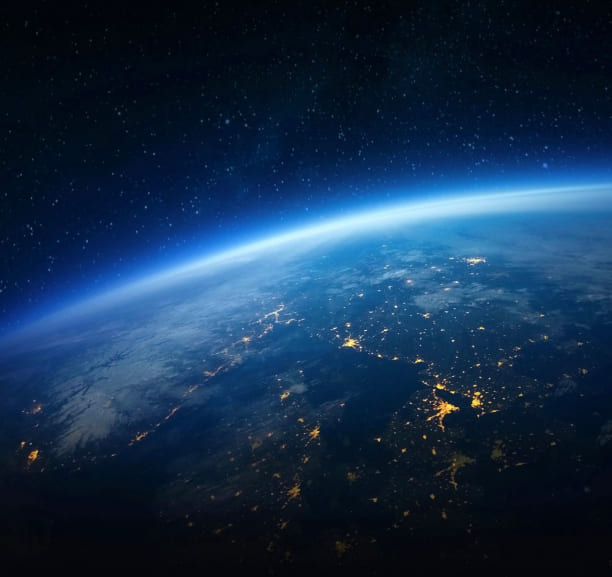
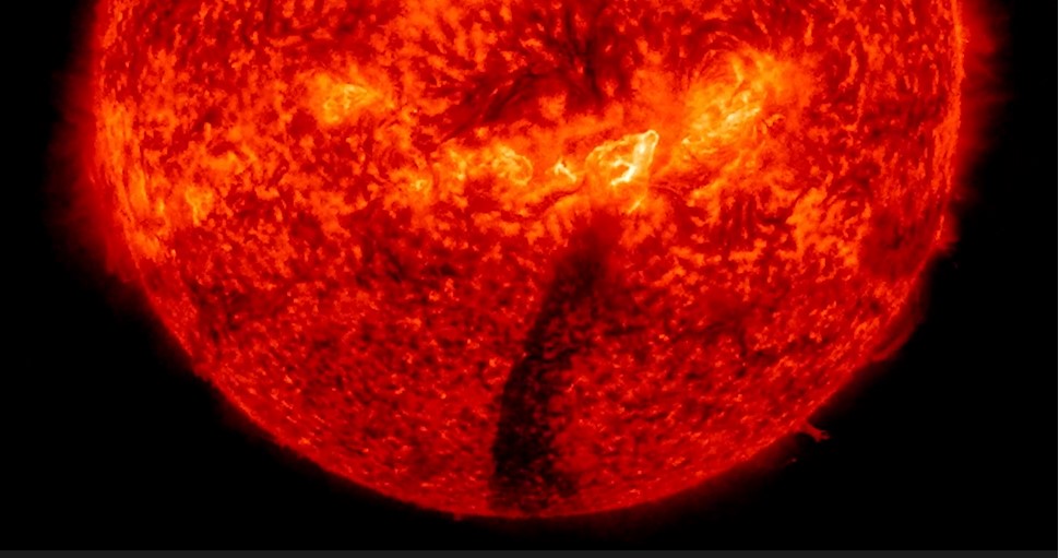
На Солнце произошел выброс плазмы черного цвета
1 из 83 > >>