Центр инновационных технологий представил новое исследование
Подробнее
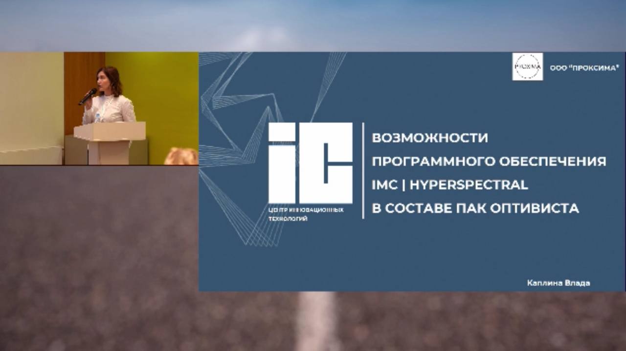
Ведущий специалист Центра инновационных технологий...
В Центре инновационных технологий прошёл мастер-класс
ООО "Центр инновационных технологий" празднует...
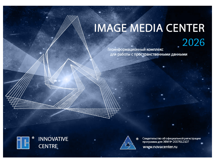
Новая версия IMAGE MEDIA CENTER на финальном этапе...
Компания «Центр инновационных технологий» представила...
1 из 86 > >>